
-
- About
- Administration
-
Govt. Office
Human Resource Development
-
Office of Women Affairs Officer
-
Employment and Manpower Office
-
BRDB
-
Islamic Foundation
-
Cooperative
-
District Savings Office, Gaibandha.
-
Labor Welfare Centre, Gaibandha
-
Social service
-
UCD, Gaibandha
-
Government Child Family (Girls), Gaibandha
-
Government Child Family (Boy), Gaibandha
-
BCIC
-
Sports
-
Tax
-
JMS
-
■ Hospital social services office, gaibandha
-
logo Office of the probation officers, Gaibandha
-
youth development
Education and Cultural Affairs
-
District Primary Education Office
-
District Education Office
-
Children\'s Academy
-
District Bureau of Non-formal Education
-
Gaibandha Shilpakala Academy
-
Public Libary
-
logo Temple Based Education, Gaibandha
-
Primary Teachers Training Institute (PTI)
-
Textile Vocational Institute, Gaibandha.
-
Gaibandha Government Technical School and College
-
Gaibandha Govt College
-
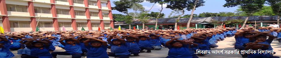
Gaibandha Government Girls High School
Agriculture and food
-
Department of Agricultural Extension
-
Food Controller\'s Office
-
District Fisheries Office
-
District Livestock Office
-
Livestock training institute
-
Department of Jute
-
Barind Multipurpose Development Authority
-
ILST
-
District Seed Certification Office
-
■ District Artificial Insemination Center, Gaibandha
-
BADC (sm)
-
District markrting ofice
-
District Forest Office, Gaibandha
-
Bangladesh Food Safety Authority, Gaibandha
-
Soil Resources Development Institute (SRDI)
-
Office of Women Affairs Officer
- Other Institute
- Laws
- E-Service Center
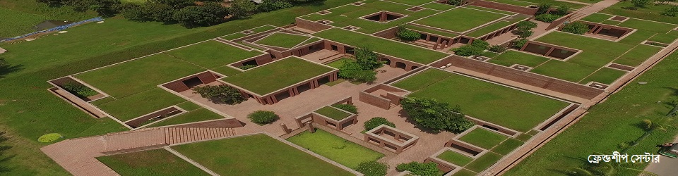
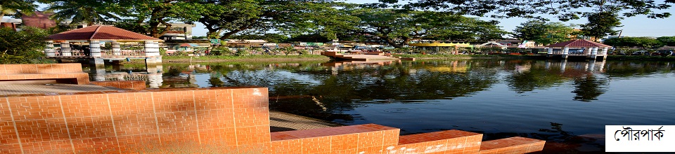
- Gallery
- ছাত্র-জনতার গণঅভ্যুত্থানে শহিদদের তালিকা
- স্মার্ট ভূমিসেবা
-
-
About
About
History and tradition
Geographical and economical
-
Administration
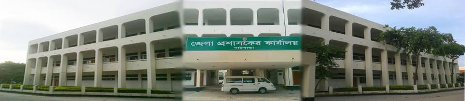
Deputy Commissioner
Deputy Commissioner\'s Office
Additional Deputy Commissioners
Officers and Employees
Important information
Branch related
Innovation activities
-
Govt. Office
Human Resource Development
- Office of Women Affairs Officer
- Employment and Manpower Office
- BRDB
- Islamic Foundation
- Cooperative
- District Savings Office, Gaibandha.
- Labor Welfare Centre, Gaibandha
- Social service
- UCD, Gaibandha
- Government Child Family (Girls), Gaibandha
- Government Child Family (Boy), Gaibandha
- BCIC
- Sports
- Tax
- JMS
- ■ Hospital social services office, gaibandha
- logo Office of the probation officers, Gaibandha
- youth development
Education and Cultural Affairs
- District Primary Education Office
- District Education Office
- Children\'s Academy
- District Bureau of Non-formal Education
- Gaibandha Shilpakala Academy
- Public Libary
- logo Temple Based Education, Gaibandha
- Primary Teachers Training Institute (PTI)
- Textile Vocational Institute, Gaibandha.
- Gaibandha Government Technical School and College
- Gaibandha Govt College
- Gaibandha Government Girls High School
Agriculture and food
- Department of Agricultural Extension
- Food Controller\'s Office
- District Fisheries Office
- District Livestock Office
- Livestock training institute
- Department of Jute
- Barind Multipurpose Development Authority
- ILST
- District Seed Certification Office
- ■ District Artificial Insemination Center, Gaibandha
- BADC (sm)
- District markrting ofice
- District Forest Office, Gaibandha
- Bangladesh Food Safety Authority, Gaibandha
- Soil Resources Development Institute (SRDI)
Health
Engineering
Law, order and safety
Communication and Information Technology
-
Other Institute
educational institutions
Religious institutions
organization
Private organization
বিনিয়োগ প্রতিষ্ঠান
- Laws
-
E-Service Center
District E-Service Center
National E-Service Center
-
Gallery
Videos Gallery
Photo Galarry
-
ছাত্র-জনতার গণঅভ্যুত্থানে শহিদদের তালিকা
শহিদদের তালিকা
-
স্মার্ট ভূমিসেবা
■ সকল স্মাট ভুমিসেবা
Geographical description of Gaibandha district
Background: History reflects the social, political and cultural life of the human race. And the importance of human geography and natural environment as a basis in writing history is immense. According to Professor Dudley Stamp, "Lessons about the Earth as a human habitation, and the impact of the natural environment on humans and their activities are discussed in Geography." People nurtured in the lap of nature are dependent on social, cultural, economic evolution, change, expansion, geographical conditions. Therefore, in writing the regional history and heritage of a country or a region, it is necessary to have a thorough discussion about the geographical location, geography, climate, rivers, seas, natural resources, agricultural production, communication system, etc. of that region. The geographical features of Gaibandha district are also briefly discussed in the history of the district.
Location: Gaibandha district, one of the traditional settlements of North Bengal, is situated on the right bank of the Brahmaputra river between 2503 to 25039 north latitude and 89012 to 89042 east longitude.
It is bounded on the north by Teesta river and Chilmari upazila of Kurigram district, on the northwest by Pirgachha of Rangpur district and on the west by Mithapukur and Pirganj upazilas of Rangpur district and Ghoraghat upazila of Dinajpur district, on the west-south by Kalai upazila of Joypurhat district and on the south by Shibganj and Sonatla upazilas of Bogra district Flowing Brakshaputra river.
Area: 7 upazilas of Gaibandha district respectively (1) Sadar (2) Sundarganj (3) Sadullapur (4) Palashbari (5) Gobindaganj (6) Fulchhari (6) Saghata upazila. It consists of 72 unions, 1101 mouzas and 2 municipalities (Sadar and Gobindaganj). The total area of the district is 2169.28 sq km (with river area of 106.6 sq km) and the population is 19,49,284 as per 1991 census report.
Geological features: Although Gaibandha district is situated in the floodplain of Greater Bengal, the features of land formation of this district are slightly different from other districts due to changes in the course of rivers flowing through it and seismic uplift. Most of the land in Gaibandha district is formed by river sediments.
Geology: The geography of a country has a profound effect on agriculture, education, trade, transportation, communication and population. Bangladesh can be divided into three parts on the basis of geography.
(A) Tertiary Mountains: These hills and mountains are believed to have formed during the Tertiary period (approximately 75 million years ago) at the time of the rise of the Himalayas. However, no features of this hill range can be observed in Gaibandha district.
(B) Steps of the Pleistocene Age: Starting about 13 million years ago and up to 25000 (five hundred thousand) years, tomorrow is called the Pleistocene age. Some of the unions in the southeastern part of Gobindaganj upazila of Gaibandha district have similar features which are locally known as 'Khiar' area.
(C) Floods of the Neolithic Age: Most of the areas of Bangladesh originated in the Neolithic Age (in less than 25000 years) except for the Tertiary Mountains and Pleistocene Terraces which exist in most of the land formation of Gaibandha District. There is no Tertiary hill in Gaibandha district of small size. To the southwest of the district are parts of the Barind lands formed during the Pleistocene period. The remaining 90 per cent of the district belongs to the flood plain of the modern geological age, which is the Brahmaputra, Karatoya Teesta Bidhaut. Therefore, according to the topography and topography of the district, the district can be divided into two parts (FAO-1991) namely: (a) floodplain plain (b) Barind plain.
Soil class: Much depends on the quality of the soil in a place. Gaibandha soil can be divided into three parts on the basis of soil texture. Namely: a) sandy soil b) loamy soil c) etel soil.
A) Sandy soil: Sandy soil is found in the riverine chars of Brakshaputra, Teesta, Karatoya and Gaibandha districts. Peanuts, china, kaun, mustard, sugarcane, watermelon etc. grow in sandy soil.
B) Loamy soils: Loamy soils are the sandy soils along the river in Gaibandha district and the whole land except Barind in the west.
C) Etel soil: Etel, loamy soil is also found in Khiar area of Gobindanj police station of the district. Although paddy, wheat, maize etc. are grown in this soil, jute and vegetables are not produced much.
Just as rivers play a major role in geology, they have also played an important role in the evolution of human civilization. Ports, urban markets, etc. have sprung up on the banks of many rivers in this riverine Bangladesh, which has developed into a natural beauty.
From time immemorial rivers have flowed over Gaibandha district like Brakshaputra M Karatoya, Teesta, Ghaghat, Manas, Bangali etc. These rivers are of immense importance in the socio-economic activities of the district including land formation, settlement, crop production, waterway communication, trade and commerce and development of its own culture.
In a survey of 1809, Mr. Buchanan, Hamilton, while describing the rivers and canals of Etadanchar, noted that the map of Bangladesh drawn by James Rennell in 183, which contains the description of the rivers and canals, is difficult to trace at present. The course of the river has changed and the abandoned course has been filled and the traces of the old river have been erased. Again the flow of the same river is known by different names in different places. He gives details of the main streams, tributaries and tributaries of Brakshaputra, Teesta, Karatoya and small streams. The total area of the rivers that have flowed over Gaibandha


Planning and Implementation: Cabinet Division, A2I, BCC, DoICT and BASIS
Technical Assistance:
![]()
Developed By:
